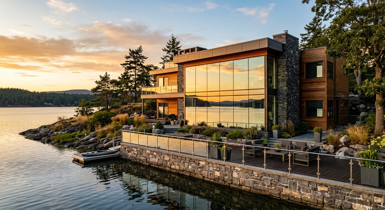
You see “year-round water” all over Smith Lake listings near Houston and wonder what it really means for daily lake life. You want dependable dock access, a boat that floats when you need it, and zero surprises after closing. In this guide, you’ll learn what the term actually implies on Lewis Smith Lake, how shoreline shape and lake operations affect access, and the exact steps to verify a property before you make an offer. Let’s dive in.
What “year-round water” means
“Year-round water” is local shorthand for having enough water at the shoreline through typical seasonal and operational changes so you can use a dock and boat most of the year. It refers to average low conditions, not just peak summer pool.
The phrase is often used loosely in marketing. It is not a legal guarantee, and it may not hold during exceptional drought or extended drawdowns for power generation or maintenance.
What should you assume? Treat “year-round water” as a claim to verify. Ask which dock has been used, whether boats stayed tied up through low water, and request real examples of accessibility in past seasons.
How Smith Lake levels change
Smith Lake is a managed reservoir. Water levels shift based on hydropower generation, flood control, and maintenance cycles, plus rainfall and drought. Levels can move in hours or days during generation, and also trend up or down over weeks and months.
Seasonal patterns matter. Dry periods reduce inflows and can expose more shoreline, while heavy rains elevate the lake. If you plan to own a larger boat, these swings are especially important.
Local shoreline shape is just as critical. Steep, rocky banks and bluffs usually keep deeper water close to shore. Gently sloping or silty areas lose usable depth sooner when the lake drops. Vegetation and ongoing sedimentation in coves can slowly reduce depth over time.
Main channel vs coves near Houston
The main channel generally provides deeper water and more reliable navigation in typical low periods. If you want quick access for a runabout or larger craft, main channel shoreline is often the safer bet for year-round usability.
Coves are more sheltered and can be ideal for swimming and smaller craft. The tradeoff is depth. As levels fall, some coves narrow or become too shallow for docking and turning larger boats.
Keep micro-variability in mind. Even within a small cove, depth can change quickly. One lot might have solid depth at the dock site, while the neighbor’s lot becomes marginal in low water.
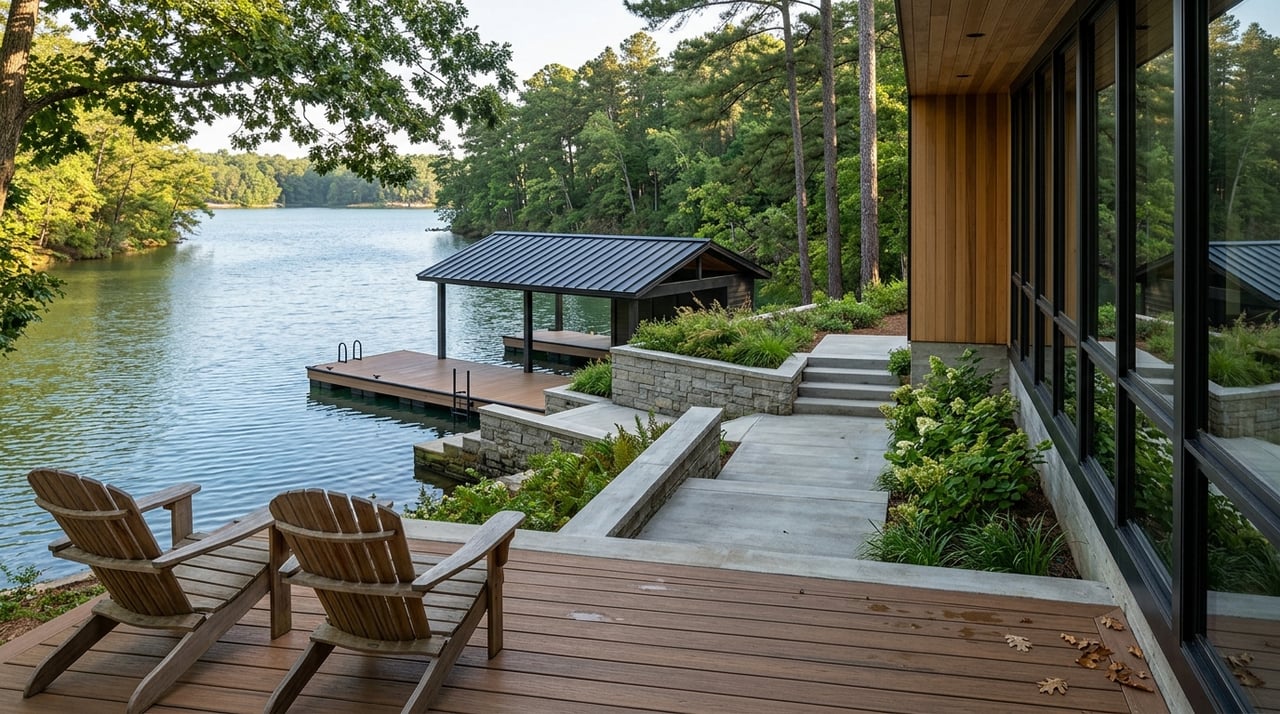
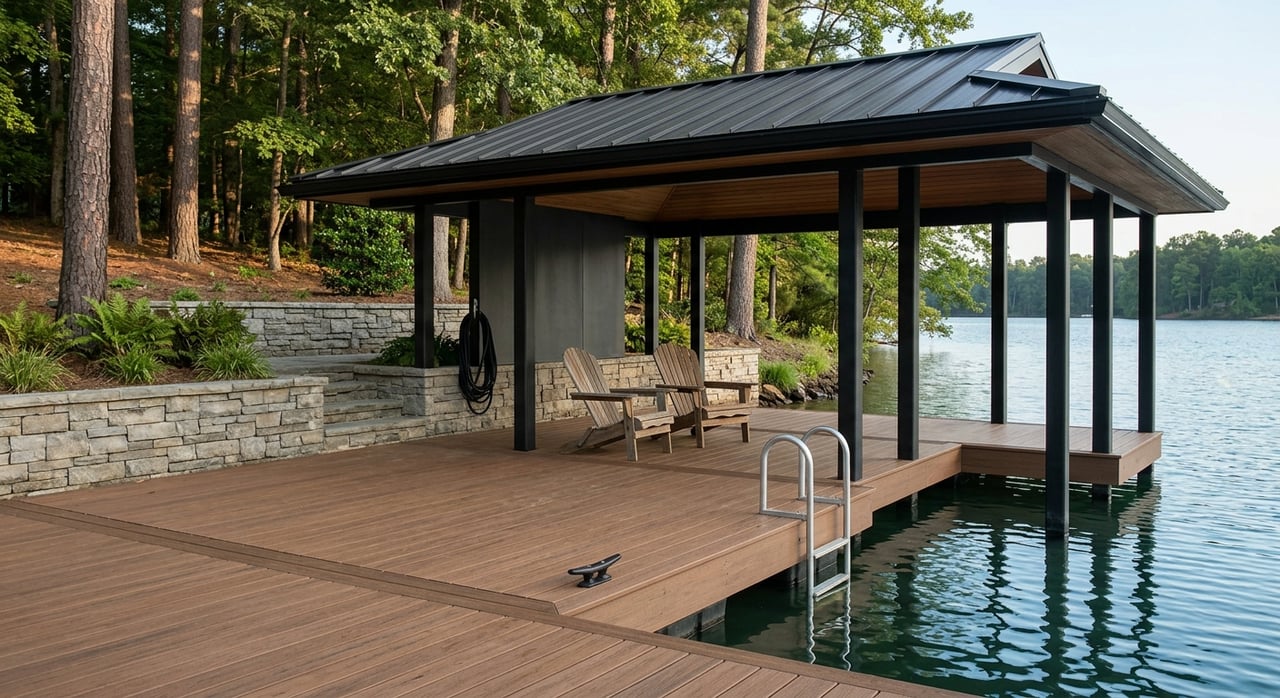
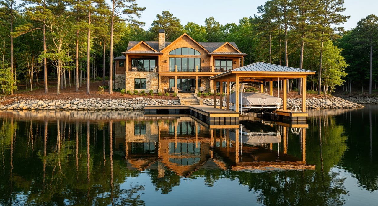
Docks that work on Smith Lake
Floating docks are the most flexible option for a reservoir with changing levels. They rise and fall with the lake but still need adequate low-water depth to avoid grounding. You also need enough gangway length to reach the dock across the full range of water levels.
Fixed pile docks are less forgiving. They require sufficient depth at low pool, and can become unusable when the lake drops. If you prefer fixed structures, you will want to confirm low-water depth very carefully.
Mooring and hardware matter. Lines and bumpers should allow for vertical movement without scraping or grounding. Repeated hard swings or scrapes can damage both dock and boat.
Boat types and usable depth
Different boats have different draft needs. Larger outboards and runabouts require more water to launch, dock, and maneuver. Pontoons and kayaks have shallower drafts and handle lower levels better.
Turning space is another factor. Some coves tighten up at low water, which can limit your ability to safely approach, turn, and dock a larger boat. If you run a bigger craft, lean toward deeper main-channel or cove entrances with proven low-water access.
Houston shoreline patterns to know
Around Houston in Winston County, you will find a mix of steep rocky banks and wider, gently sloped coves. Steep sections tend to keep better depth close to shore during typical low periods. Shallow flats at the ends of coves can lose depth quickly and may require relocating a dock or using a smaller craft when levels drop.
Expect lot-by-lot differences. Bottom composition, cove shape, and nearby traffic can influence how fast a shoreline silts in. Always check the site itself rather than relying on general assumptions about a particular arm of the lake.
When a cove makes sense
Coves can be excellent if you prioritize calm, sheltered water for swimming, paddle sports, or a small fishing boat. You often get a quieter setting with less wake. If your boating needs are modest, and the specific dock site has measured low-water depth, a cove property can deliver great day-to-day enjoyment.
Still, plan for variability. Confirm usable depth at the dock location, and understand that some cove bottoms shift over time.
When the main channel fits best
If you want all-season convenience for a larger boat, the main channel is often the most reliable choice. You usually get more consistent depth and immediate access to open water. Expect more wind and wake, since exposure and boat traffic are higher, but many owners find the tradeoff worthwhile for dependable navigation.
Buyer checklist: verify year-round water
Use this step-by-step approach before you make an offer on a Smith Lake property near Houston.
Documents and data
- Ask for historical lake level records that show year-by-year lows and examples from drought years.
- Request any local marina or community notes on low-water dock usage.
- Review aerial or historical imagery to spot shoaling and shoreline changes.
- Seek out any available bathymetric or depth-sound maps for the area.
- Get the property survey for shoreline baseline, riparian frontage, and permitted easements.
On-site observations
- Visit during a historically low period if possible, or speak with neighbors about low-water experience.
- Walk the littoral zone to assess slope, bottom type (rock, sand, mud), and vegetation.
- Observe nearby docks: are boats stored on lifts year-round, frequently moved, or routinely pulled out?
Technical depth checks
- Ask for a recent sounding at the proposed dock location at the current level and, if available, at known low water.
- Confirm the dock type you can install. If floating, ensure adequate low-water depth and space to move. If fixed, verify clearance at low pool.
- Calculate gangway length so you can reach the dock across the full level range without unsafe slopes.
Rules and local contacts
- Contact the reservoir operator or lake manager for shoreline management rules, permitted structures, and recent operating patterns.
- Check with Winston County for any permitting requirements or shoreline restrictions.
- Talk with local marinas, boatyards, and dock installers for practical insight on specific coves and sites.
Negotiation strategies
- Request seller disclosures about low-water usability and any dock relocations or repairs tied to water-level swings.
- Consider a purchase clause allowing a pre-closing depth sounding if “year-round water” is material to your decision.
Common pitfalls to avoid
- Relying on photos from peak water without low-water proof.
- Assuming a cove is too shallow or a channel is always deep without measurements.
- Installing a floating dock with an undersized gangway that cannot span seasonal changes.
- Overlooking your boat’s draft and turning radius when evaluating a narrow cove.
A practical way to compare properties
Start with your boat and activities. If you run a larger runabout and want quick rides to open water, favor main-channel sites with proven low-water depth at the dock. If your priority is quiet paddling, swimming, and pontoon cruising, a well-chosen cove with documented low-water access can be ideal.
Next, focus on the dock plan. Choose a dock type that fits the shoreline slope and expected level range. Confirm the gangway length and anchoring setup so you are ready for seasonal shifts.
Finally, verify with data and on-site checks. Historical levels, soundings, and neighboring dock behavior will give you a realistic picture of what “year-round water” means for that exact lot.
Ready for clarity on your shortlist?
The right Smith Lake property comes down to matching your boat, your lifestyle, and your shoreline. If you want hands-on guidance, local depth insight, and a practical plan for dock setup, reach out to the team that knows these coves and channels property by property. Connect with Chris & Dena Harris for local expertise and a smooth path to the lake life you want.
FAQs
What does “year-round water” guarantee on Smith Lake?
- It indicates typical low-water usability for docks and boats, but it is not a legal guarantee and does not cover exceptional droughts or maintenance drawdowns.
Are main-channel properties always deeper near Houston, AL?
- They are often deeper and more reliable for larger boats, but you should verify each site with soundings and historical low-water information.
Will a floating dock solve low-water issues?
- A floating dock adapts to level changes but still needs adequate low-pool depth and a gangway sized for the full seasonal range.
How do I check a cove lot for usable depth?
- Walk the shoreline, request recent soundings, review historical imagery, and ask neighbors or local dock pros about low-water access at that specific cove.
What boat types handle low water better?
- Pontoons, kayaks, and small fishing boats have shallower drafts and usually handle lower water better than larger runabouts or deep-V boats.